What's covered in this cheat sheet
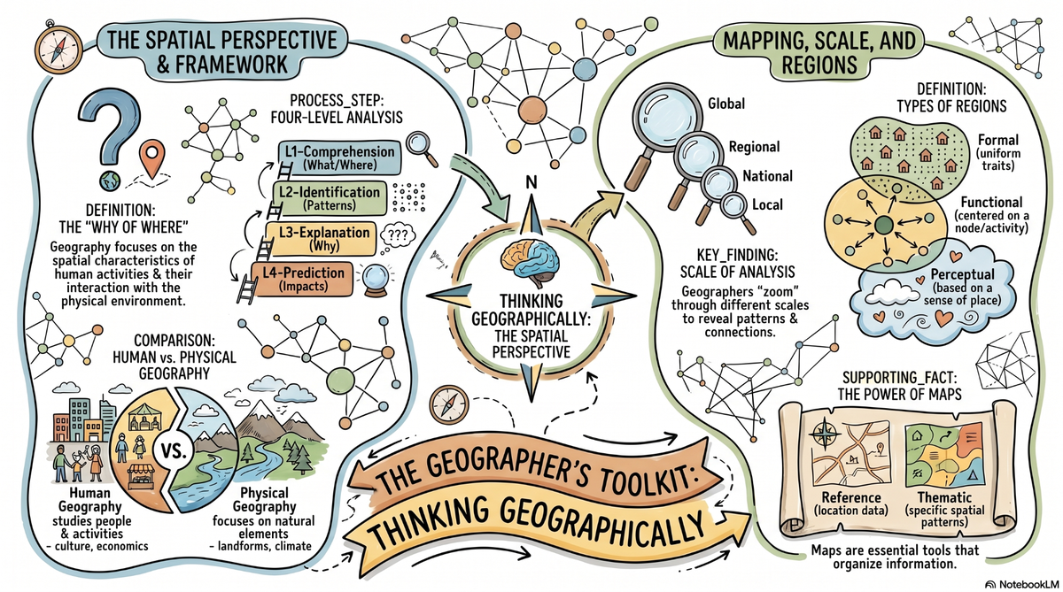
This infographic summarizes the core concepts of Unit 1: spatial thinking and geographic tools (GIS, GPS, remote sensing), map types and projections, the difference between site and situation, types of regions (formal, functional, vernacular), diffusion types (contagious, hierarchical, stimulus, relocation), distance decay and space-time compression, and the debate between environmental determinism and possibilism. Use it as a quick-reference before the exam or to check your understanding after studying the other resources.